1:24,000 topographic quad sheets provide the most detailed cartographic coverage for the United States. One topo quad covers roughly 5 x 7 miles. They show elevation through contours; however, they are not 3 dimensional.
The procedure is simple. You email or FAX us your area of interest and 7 days later you can pickup your 4,000 x 5,000 pixel image. Of course you have some degree of latitude in customizing your image, such as choosing your perspective, your vertical exaggeration, and physical dimensions or resolution. You can even change the color of the symbols represented in topographic quad.
If you need scales smaller than 1:24,000 (e.g. 1:50,000 or 1:250,000) we will accommodate. If you have areas outside of the US, we will develop that too.
So email us or FAX (1-800-783-5169) your order!
| SAMPLES | |
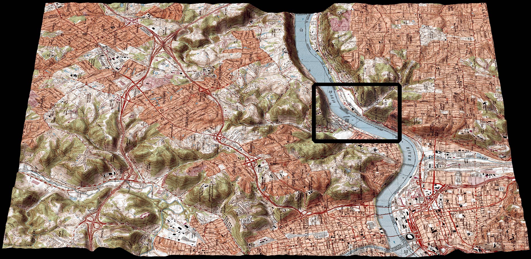 |
Covington
Quad Sheet Shows Cincinnati Water Front |
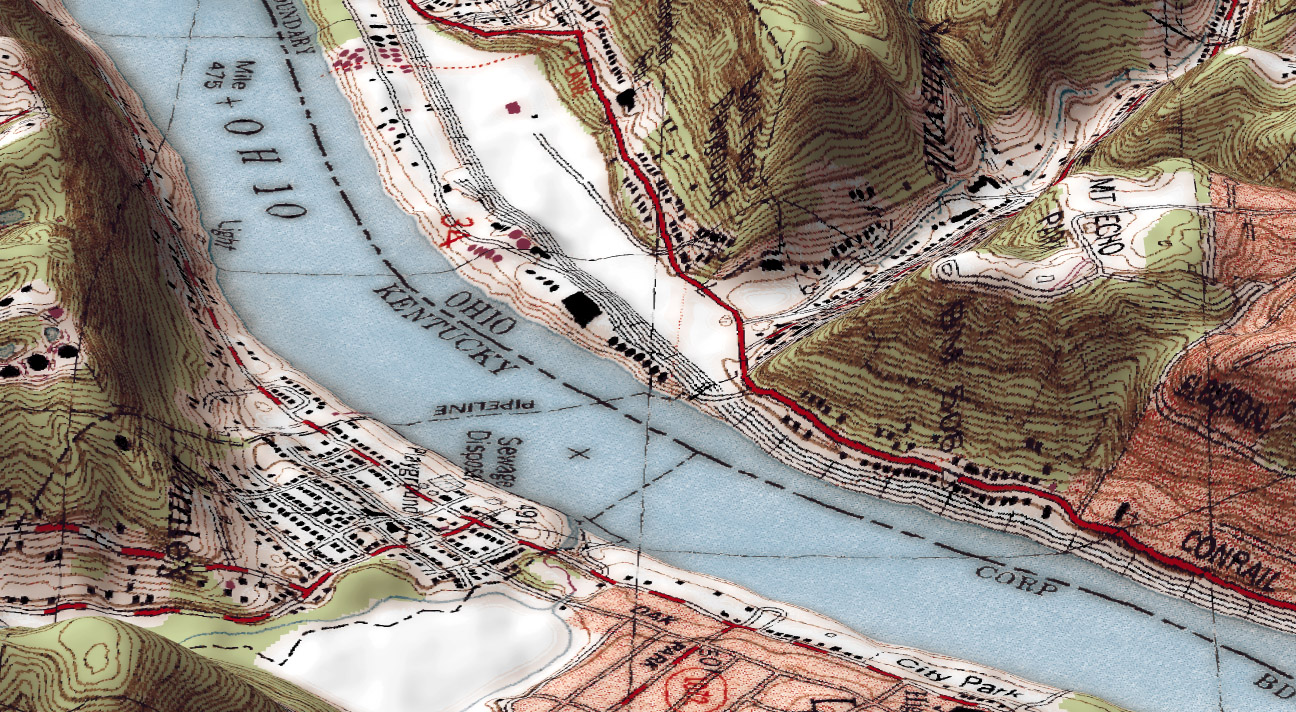 |
Mount
Echo Park Detail From Covington Quad Sheet |
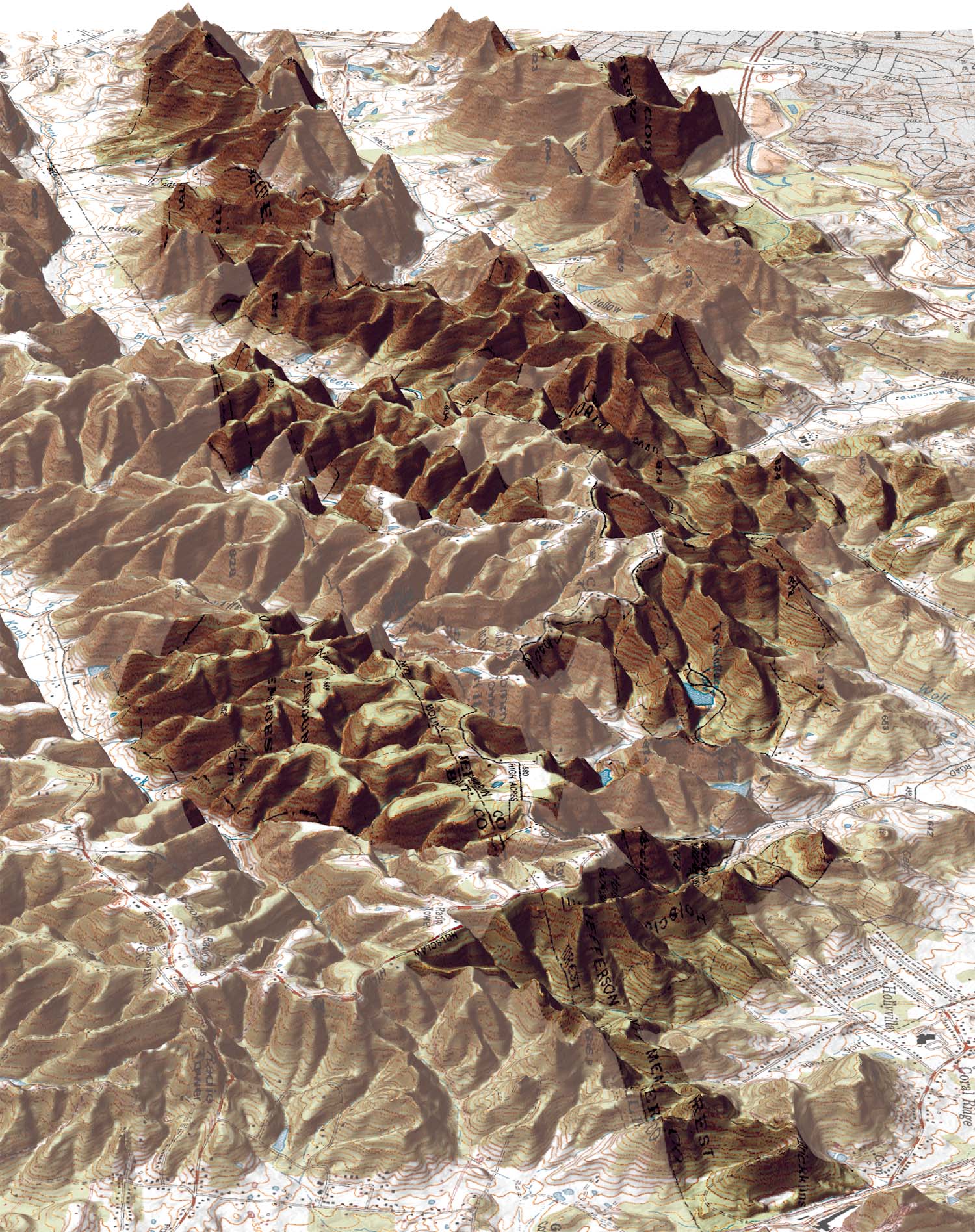 |
Jefferson
County Memorial Forest The screened areas are outside the park boundaries. Notice how the vertical exaggeration can be used to accentuate landforms. This map also shows how other spatial data can be added to the map before rendering. In fact, any spatial data can be added to the 2-D image before the rendering in 3D. |
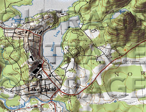 |
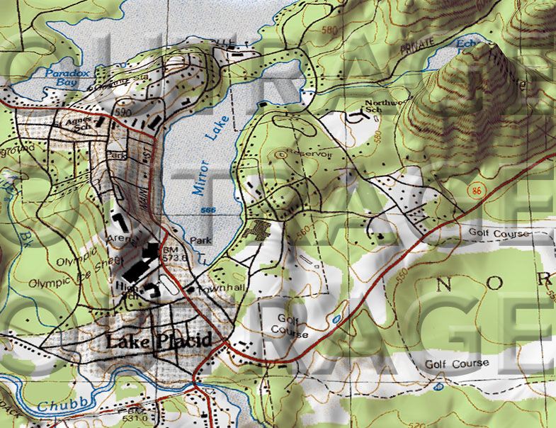
Lake Placid. New York |
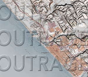 |
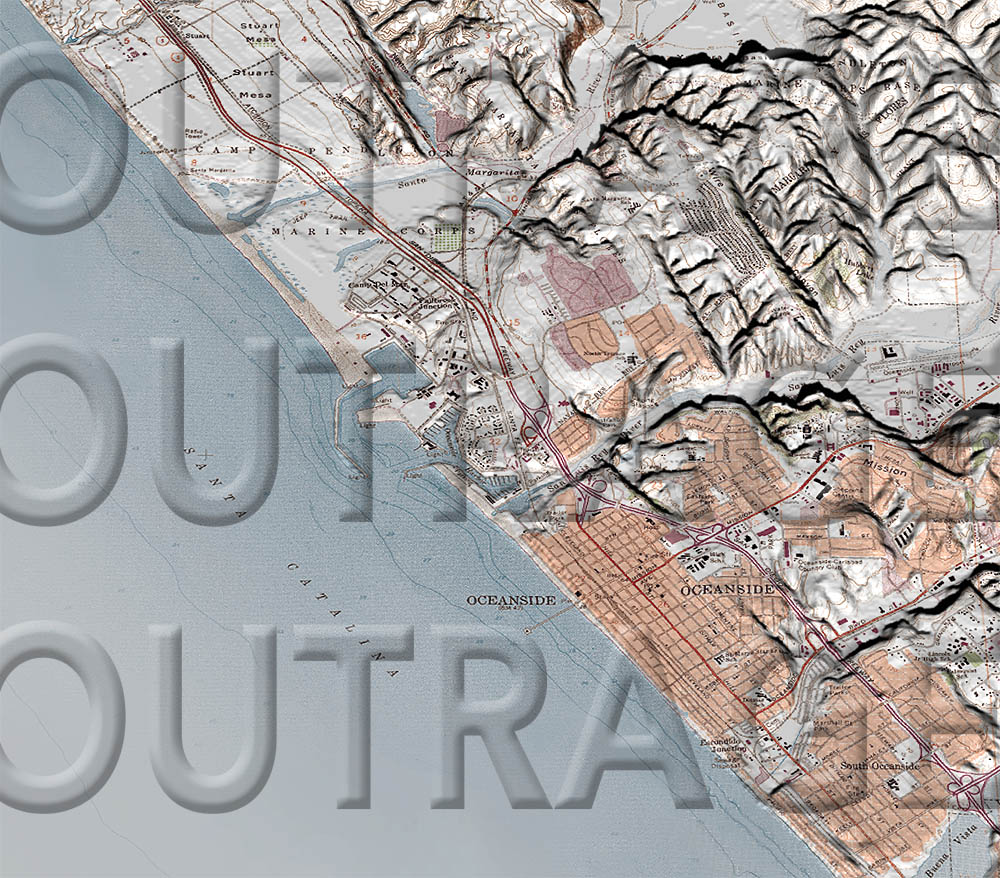
Oceanside, California |