NEW!! Send us your feedback and we'll send you a FREE GIFT, valued at $340!
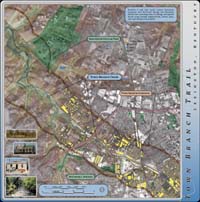
Town Branch Trail Corridor Map
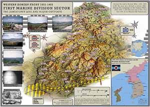
Korean Western Front, 1952-1953
The Jamestown Line and Major Outposts
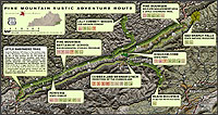 Pine Mountain Rustic Adventure Route LARGE: 1.5M SMALL: 500K |
|
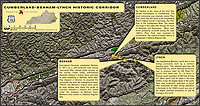 Cumberland - Benham - Lynch Historic Corridor LARGE: 1.5M SMALL: 500K |
|
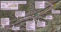 Mountain Arts and Crafts Trail in Souheastern Kentucky LARGE: 1.5M SMALL: 600K |
|
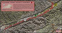 Kingdom Come Scenic Parkway in Souheastern Kentucky LARGE: 1.5M SMALL: 500K |
|
| The Official Guide to Kentucky's Boating and Fishing Access Sites This cherished companion to any outdoor escapade is now available for a free download. GO THERE! |
|
| Stylized 1958 Kentucky Highway Map for KET Video Production At Leisure's Edge made with videoGIS (large 300K JPG) |
|
 |
A Map for Sophie's Science Project (Small JPG, Large PDF) Note: This map was made exclusively with Kentucky videoGIS |
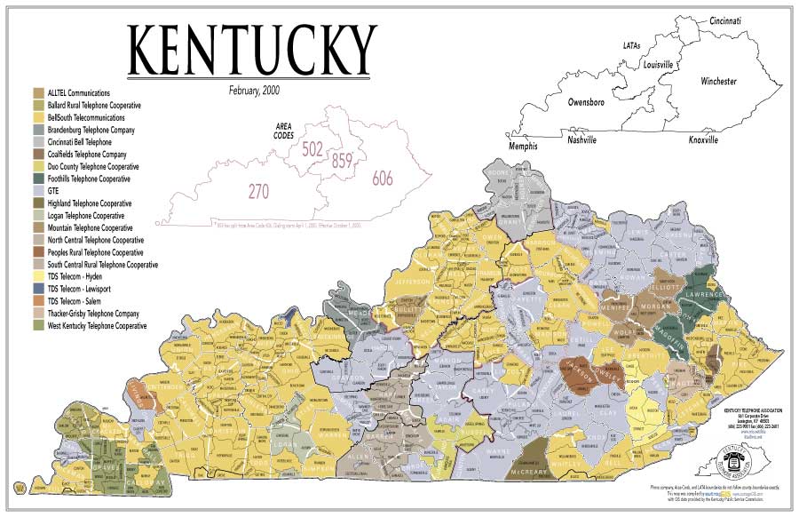 |
Kentucky Telephone Association Exchanges (Small JPG, Large PDF) |
| |
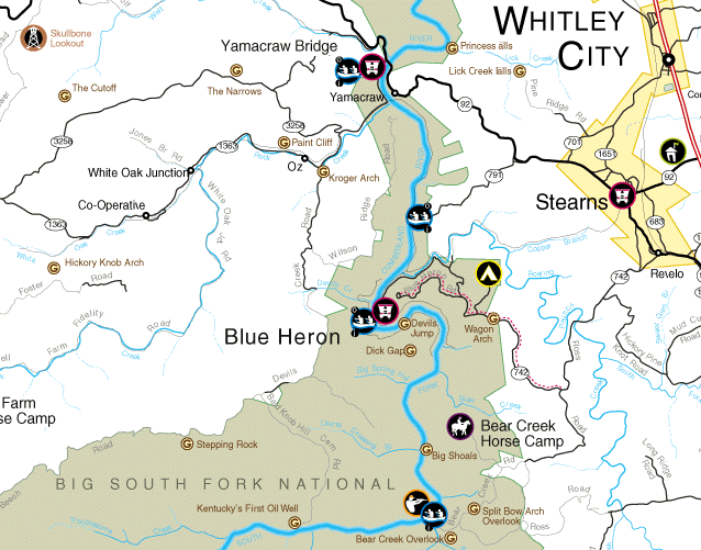
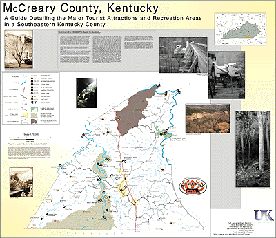
McCreary County, Kentucky, 36 x 45 in. (Small GIF) |
 |
Detail from McCreary County Map (Small GIF) |
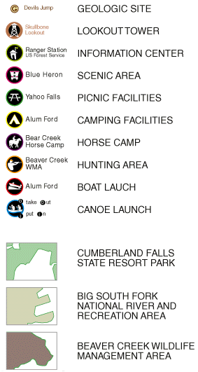 |
Legend from McCreary County Map (Small GIF) |
 |
Photograph from McCreary County Map (Small JPG) |