During the early days of outrageGIS mapping, Boyd finished a one-hour video that explored once-segregated black parks in Kentucky. The historic parks found in the movie are Douglass Park in Lexington, Iroquois & Chickasaw Parks in Louisville, Stuart Nelson and Noble Parks in Paducah, and Cherokee State Resort Park in Aurora.
Maps were used in the movie included 3D animations, fly-out detail maps, and montage backgrounds. One could argue this is an overly aggressive use of maps and maybe even lessens the impact of the movie overall. Some lessons to take away from this experiment are that good, clear maps are hard to make for video and animating the map graphics to the narration is an art. I think the Cherokee State Resort Park fly-out graphic is among the better animations and maybe the end the Douglass Park sequence has good narrative timing.
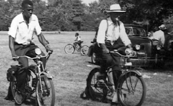
The movie weaves together 3 narratives and is represent by different styles of filming and voices. The first narrative is told from the viewpoint of a woman remembering back to her childhood summer vacations in Jim Crow Kentucky. She travels across the state on U.S. Highway 60 to Cherokee State Resort Park. The narration is performed by Lucille Jackson and the dream-like old b&w film footage shows a lonely young girl waiting at the segregated bus stop for the trip to the Lake. At the end, we see her joyfully running to the lake shore.
The second narrative, spoken by Alfred Wiggins, is the voice of law, history, and hard-luck. Viewers see old photographs from Louisville and the Jim Crow south. The third narrative is told by people today recreating and ‘leisurizing’ in 7 historic parks as well as the early founders of the park.


