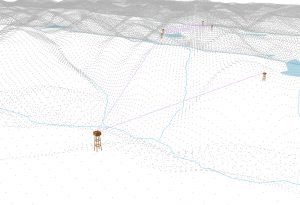
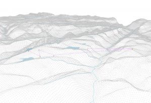
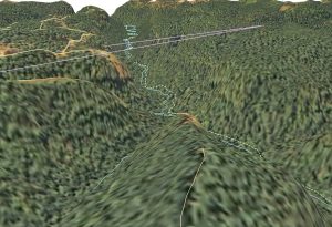
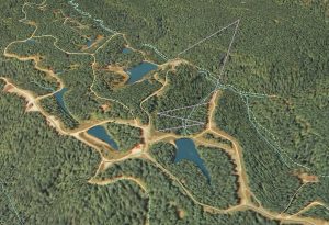
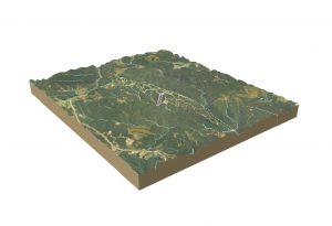
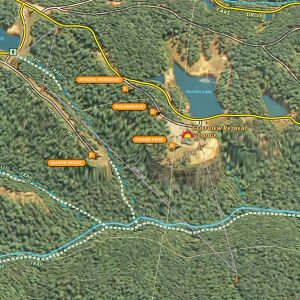
A project to develop a large-format printed document that helps visitors navigate the resort and better understand the unique ridge. This map requires developing a terrain dataset to model cliffline and dams, because the resolution of the elevation data is not sufficient for this scale. These samples focus on the zipline tour in the resort. Hopefully, this completed map will be released in late June.
"Everybody needs beauty as well as bread, places to play in and pray in, where nature may heal and give strength to body and soul."
-John Muir
Explore
Your cart
outrageGIS mapping
We are a small map studio that lovingly crafts all of the maps sold on this site. We dedicate our mapping and photography to parks we feel are treasures of public wilderness.
outrageGIS mapping
PO Box 2054
Lexington, KY 40508
News
You are here: Front Page / Maps / Cliffview Resort Perspective Views
Copyright © 2025 · outrageGIS mapping · All Rights Reserved · Admin




Speak Your Mind
You must be logged in to post a comment.