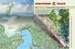
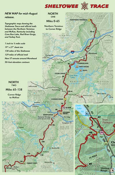
We are now printing the Sheltowee Trace North map, which covers the ST and official trails between the Northern Terminus and Mckee in Jackson County, Kentucky. That’s 138 miles of ST and  130 miles of official trail. The map is same scale as our previous ST south maps, but the sheet size has been enlarged to 19″ x 27″ and packs down to 4.5″ x 6.5″. We will also offer a lamination and heat press service to make these maps bomber in the field.
A couple unique additions to this title might be useful for the serious trail enthusiast. The map is formatted to show the trail network of Cave Run Lake and Red River Gorge on single, separate sheets. The new ST reroute around Morehead and new trails in Cave Run are located. Groceries, public libraries, power lines, and pipelines are located. We’ve added 1,000 m UTM grid. What else? Lots of love and devotion for the trails of the Daniel Boone.
Low resolutions drafts of the press sheets (note these previews require Flash). These have been altered in final version. The only way to see the finished map is to hold it in your hand!
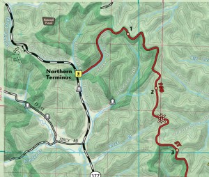
Northern Terminus
Cave Run Lake
Red River Gorge
Southern Gorge, Turkey Foot, and McKee
Just like the South ST map, when the ST leaves a sheet it has a letter in a red box as label to match the trail on the next sheet. Just follow A…B…C… for 138 miles.
Thanks for the input in correcting thre above drafts!


It’s just out now in our store! Check out http://www.outragegis.com/sheltowee/