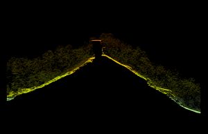
This summer we are planning an update to our popular Red River Gorge trail map. Since the release of the Lidar point cloud data for Daniel Boone National Forest, we have been excited to start the project. With a pixel resolution of 5-foot, this is the most detailed elevation layer we have for the Red River Gorge. Let’s take a look at some samples. An elevation profile of the well-known landmark, Natural Bridge arch, shows canopy slightly dimmed and you can clearly see the arch.
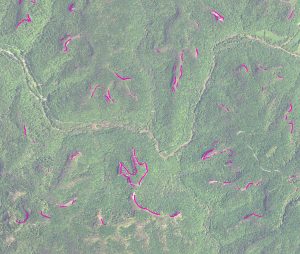
Many other interesting analyses are planned; for example, where are the high cliffs and overlooks? In the right image, we show the cliffs over 100-feet in height. We can clearly see the high cliffs of Pinch ‘Em Tight, Chimney Top, and the other high cliffs the line the Red River.
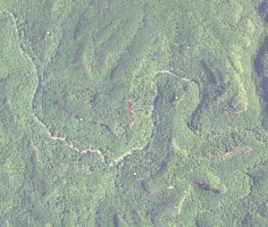
Of course, the inclination is to find the highest cliff in the Red River Geological Area. With a preliminary analysis, we have found the Small Wall climbing area has one of the highest cliffs at 220-feet.


Leave a Reply