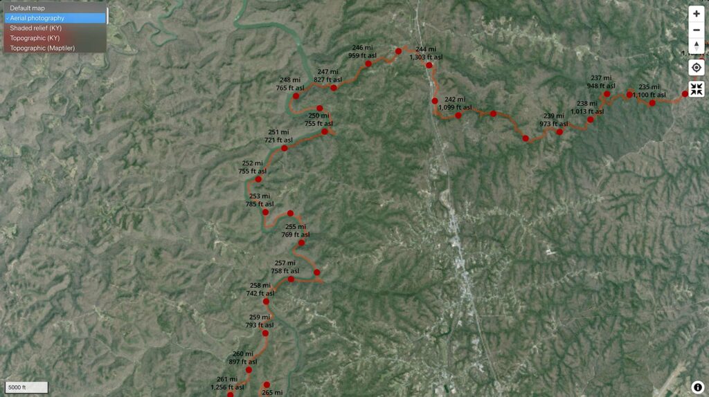
Find high-resolution aerial imagery and shaded relief maps for Kentucky (and some for Tennessee) on SheltoweeTrace.com.

We’re adding new base maps for our Sheltowee Trace map. The current maps are:
- Default map shows a generalized shaded relief, hydrologic features, and public land.
- Aerial photography shows 2-ft pixel resolution, leaf-off 2019 imagery.
- Shaded relief (KY) uses KyFromAbove point clouds from 2010s to create a shaded relief detailed enough to show trail and road beds.
- Topographic (KY) shows the Topographic map series created by the Kentucky Division of Geographic Information.
- Topographic (Maptiler) displays a modifed Maptiler Outdoors base map. It is a global base map pulled a variety of open-source data. Trail and other information portrayed on this base map is not maintained by outrageGIS mapping. Also, elevation contours can show errors around 100 feet.


Leave a Reply