Over the years teaching GIS & mapping, Boyd has tried to connect his students with real-world mapping opportunities. One such opportunity emerged when Rowan County, Kentucky, wanted an interactive map showing trails and tourism destinations in the area. Workshopping with students in GEO 305 (Elements of Cartography) and later MAP 672 (Programming for Web Mapping) in UKy’s Department of Geography, he drafted a web map.
The criteria for this map were that it needed to be completely open source (without relying on any for-fee platforms) and self-contained—the project lives in a folder that could be dropped into any web server and would just work. This project uses LeafletJS and public base maps from Kentucky DGI.
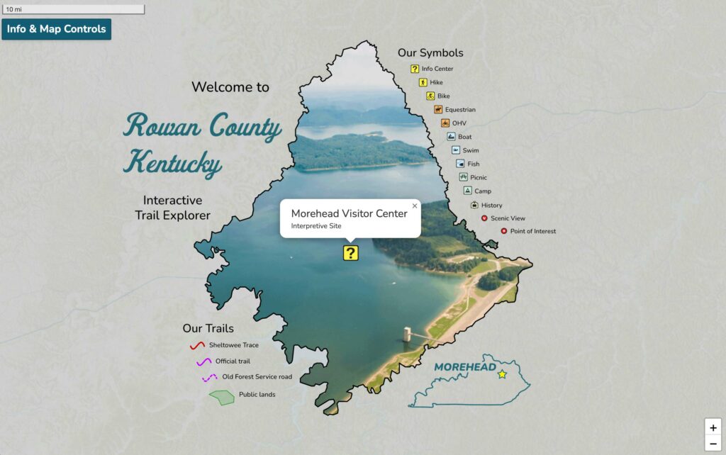
The page departs from the traditional web map; marginalia, typically on a print map, was added to this map. A viewer can zoom into the legend! While the creative choices made on this project offered a fulfilling experience, students have their own trajectories and soon pivot interests after a course is finished.
The project is a draft, but it is active. Tell us what you think: https://outrageGIS.com/rowan


Leave a Reply