KyFromAbove has long produced elevation datasets for the public. Using their Phase II lidar point clouds, we created a new shaded relief and DEM raster tile sets for web mapping. While most mapping applications focus on ground elevations, we use the above-ground elevations to make a digital surface model (DSM). These elevations show buildings, trees, and even cars.
These above-ground elevations, however, have unique challenges. The latest project attempts to minimize errors and create visually impactful shaded relief and RGB terrain layers from DEMs for elevations.
Check out the preview here: outrageGIS.com/maps/new-circle
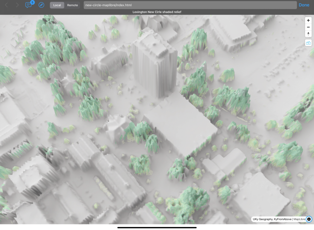
Lexington’s UKy campus


Speak Your Mind
You must be logged in to post a comment.