The Red River Gorge was impacted by the January ice storm. The gravel FS roads were closed for about a week, but they are now open. All of the trails in the Red River Gorge proper have been cleared of debris, except Courthouse Rock Trail, Rough Trail over Parched Corn Creek, and the Sheltowee Trace north of Bison Way. Trails in the Clifty Wilderness has not been cleared, and since no chainsaws are allowed there, it might take time to clear.
The debris is problematic, but not a deal breaker in my opinion. Though if you are backpacking and/or have leashed dogs, a down tree on the trail is problem. I went out Swift Camp Creek east of 715 for about a mile and the trail was not that bad. As with any backcountry adventure, you’ll expect an element of danger so please use an extra measure of caution on trails in the Clifty Wilderness…and tell us how they are!
Boyd
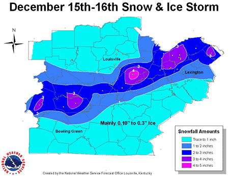
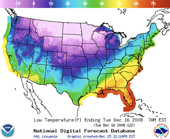 Winter storm warning, Dec 15-16, 2008.
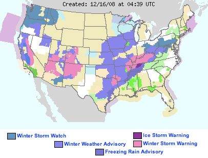
 Wind advisory, Sunday Dec 14, 2008
 is reporting that the current temperature is 55 degrees F, the sky is clear, and the winds are blowing from the north at 18 miles per hour.
 is reporting completely overcast conditons, winds from the north at 24 miles per hour and the temperature is 58 degrees F.

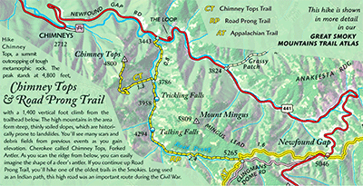
 Pine Mountain Trail Map
 Awesome. That’s the a good word to describe the current trail conditions at Cave Run. Often plagued with muddy trail conditions from numerous seeps, the trails now are fast, firm, and fantastic. Trails around sandstone outcroppings are sandy as usually and the soil elsewhere is dusty.
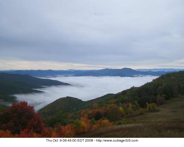
 Red River Gorge trails are fantastic right now. This late September season has given us clear, warm days and dry, cool nights. The waning moon is glowing through high cirrostratus that are hinting rain, but none is in the forecast.


 A postscript on the event: Thanks for all those trail lovers who showed up and visited our booth. We met many outdoor enthusiasts with great trip stories. For folks who walked away with great coupons and discounts, the store is open. If you couldn’t make it out and still want those deep discounts, just