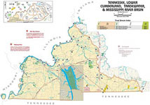
Cumberland Gap Map
Distance: 16 Miles round-trip from trailhead
Difficulty: +++
Scenic Views: ++++
Elevation Relief: 1,800ft ^^
Ownership: Cumberland Gap, NPS
Google to trailheads
| Cumberland Gap Trail Map: $12 |
 |
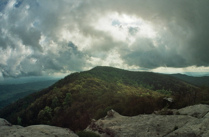 White Rocks Overlook
The White Rocks overlook to Martin’s Fork on the Ridge Trail is the “power-date” of overnight trips in Cumberland Gap. You have a massive ascent, a capital view, and great camp at Martin’s Fork rustic cabin. The stadium rockhouse Sand Cave helps cool your engines and spirit. Trees bent dog-legged by mountain top winds great you like old friends. You are on the Ridge Trail.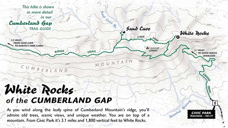
 We are proud to have contributed to the recent Daniel Boone National Forest magazine, The Boone Trace. This comely tabloid-sized full-color magazine is the U.S. Forest Service’s official visitors’ guide and welcome publication with maps, photographs, and timely information. With over 700,000 acres, 100+ developed recreation sites, and 600+ miles of trail, this national forest provides ample opportunities to refresh, reconnect and challenge yourself in the great outdoors. The Boone’s Trace magazine is free and should be the first document you read before your adventure in the forest.
 Turkeyfoot, S-Tree, and the Laurel River Lake. While forest ownership less continuous in this district, many trails (official and unofficial) spline the ridges and creeks for hikers, mountain bikers, and motorized vehicles.