Testing a post about maps.
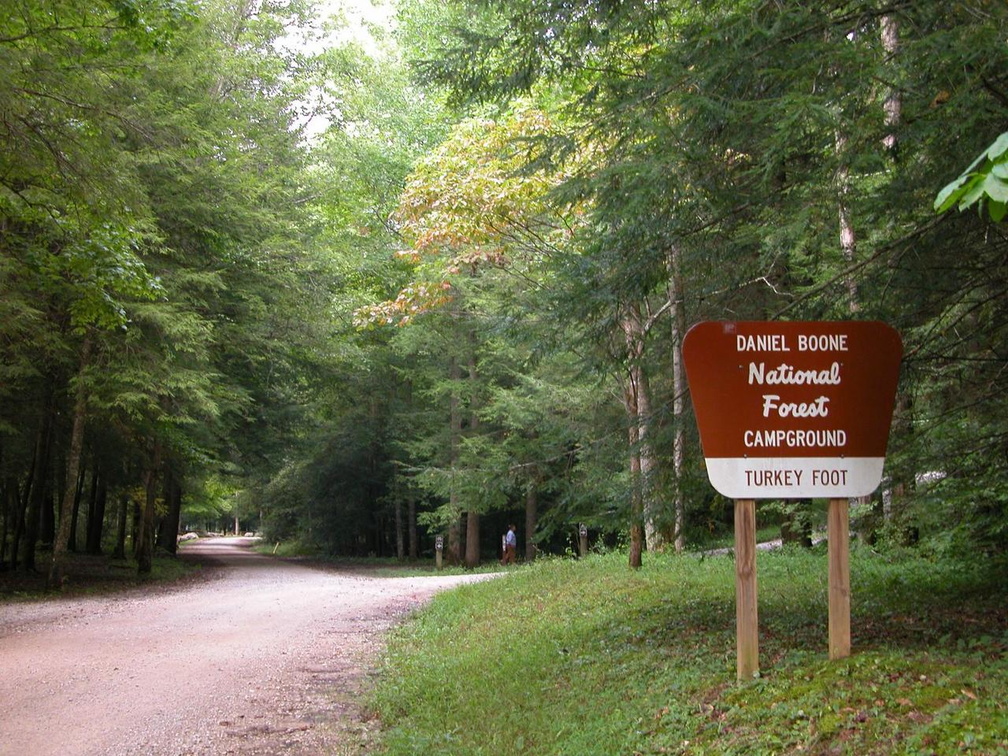
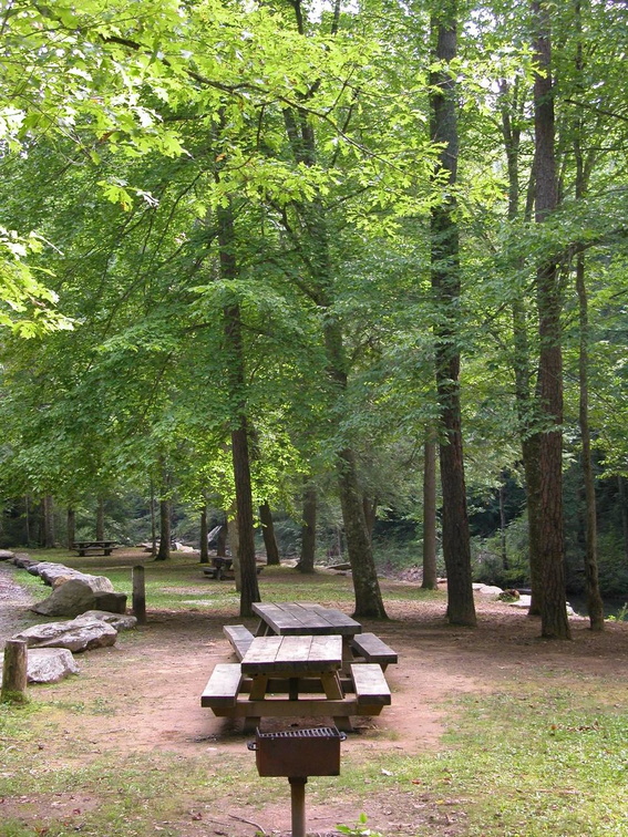
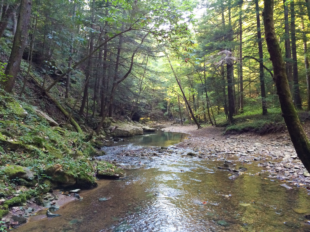
Turkey Foot Campground

 Sheltowee Trace North map
Size: small
Fee: no
Accommodations: 15 sites
Amenities: Vault toilet
Open all year
Ownership: Daniel Boone National Forest, USFS
Buy Sheltowee Trace North Trail Map
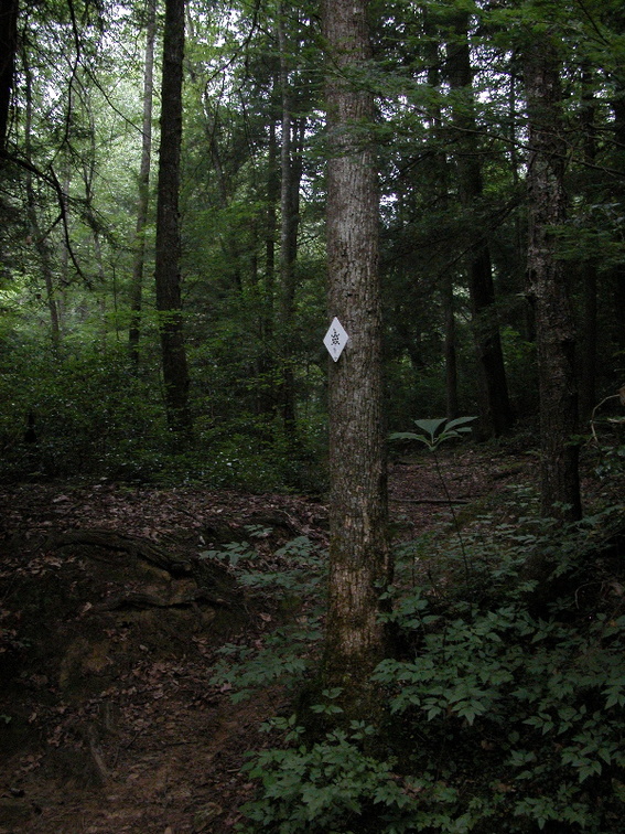
S-Tree Campground

 Sheltowee Trace South map
Size: small
Fee: no
Accommodations: 20 sites
Amenities: Vault toilets
Open year around
Ownership: National Forest Service, DBNF
Buy Sheltowee Trace South Trail Map
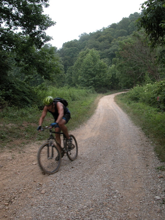
Clear Creek Campground

 Sheltowee Trace North map
Size: small
Fee: yes
Accommodations: 20 sites
Amenities: Vault toilets, drinking water
Open spring – fall
Ownership: Daniel Boone National Forest, USFS
Buy Sheltowee Trace North Trail Map

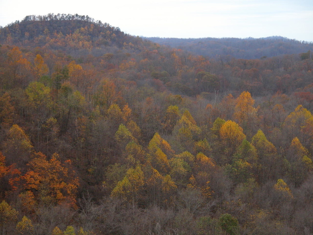
Koomer Ridge Campground

 Sheltowee Trace North map
Size: medium
Fee: yes
Accommodations: 73 sites
Amenities: Electricity, drinking water, bath houses (not available during winter)
Open all year
Ownership: Daniel Boone National Forest, USFS
Buy Sheltowee Trace North Trail Map
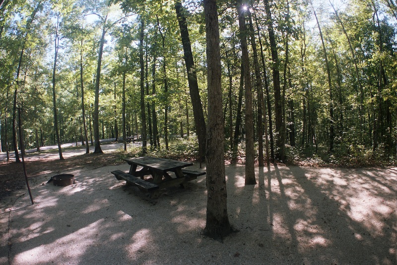
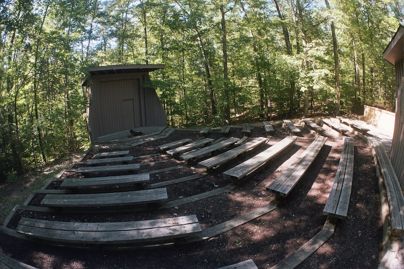
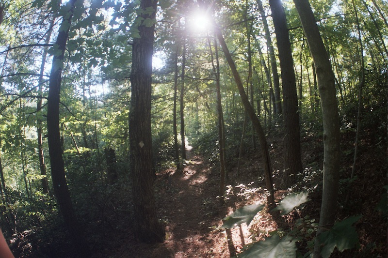
Holly Bay Campground

 Sheltowee Trace South map
Size: Large
Fee: Yes
Accommodations: 94 sites
Amenities: Marina, bath house, drinking water, electricity, waste disposal, boat ramp
Open spring-fall
Ownership: National Forest Service, DBNF
Buy Sheltowee Trace South Trail Map
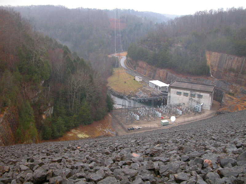
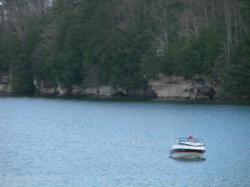
Great Meadows Campground

 Sheltowee Trace South map
Size: Small
Fee: Yes
Accommodations: 15 sites
Amenities: Vault toilets, drinking water, horseshoe pits
Open all year
Ownership: National Forest Service, DBNF
Buy Sheltowee Trace South Trail Map
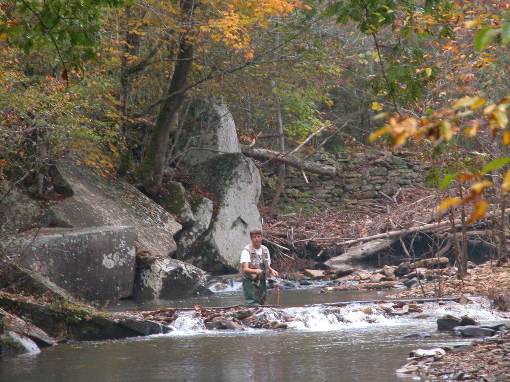
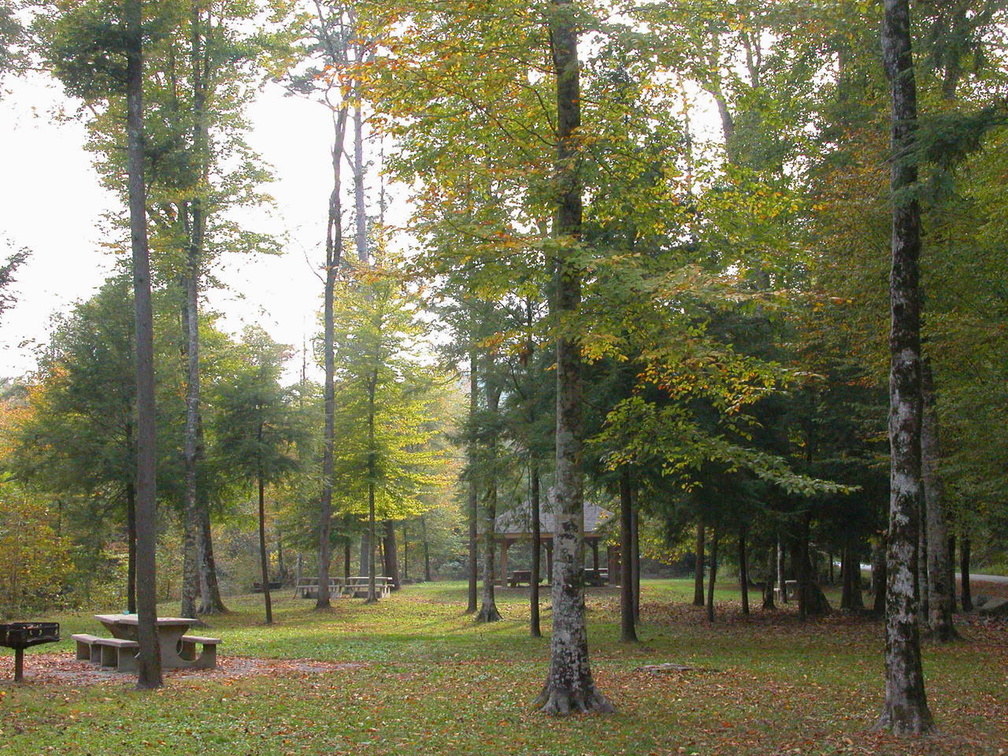
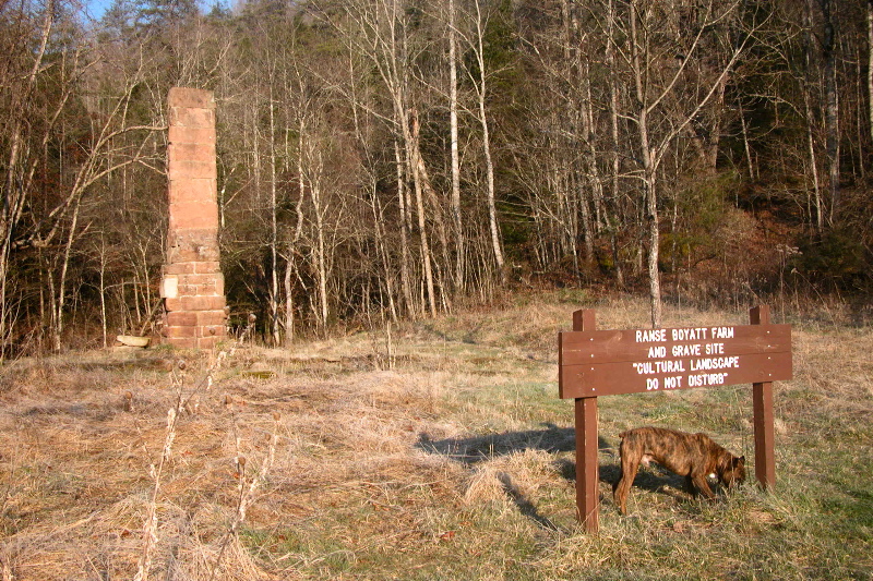
Great Meadows camp sits along the banks of Rock Creek, a Kentucky designated Wild River and is stocked with fish almost monthly. A short hike along the Sheltowee Trace takes one to Hemlock Grove, a stately picnic area. The campground can serve as a point of entry for the John Muir Trail and the old homesteads found along the tributaries of the Big South Fork.
Alum Ford Campground

 Sheltowee Trace South map
Size: Very small
Fee: Yes
Accommodations: 5 sites
Amenities: Pit toilets, boat launch
Open all year
Ownership: National Park Service, BSFRRA
Buy Sheltowee Trace South Trail Map
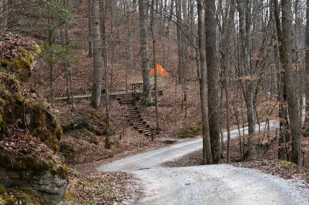
Alum Ford Campground sits along the Sheltowee Trace and the banks of the Big South Fork. The campground is a short hike from Yahoo Falls. Its sparse accommodations are balanced with the incredible beauty of the area.
Blue Heron Campground

 Sheltowee Trace South map
Size: medium
Fee: yes
Accommodations: 45 sites
Amenities: Bath house, electricity, potable water, waste disposal
Open April through November
Ownership: National Park Service, BSFRRA
Buy Sheltowee Trace South Trail Map
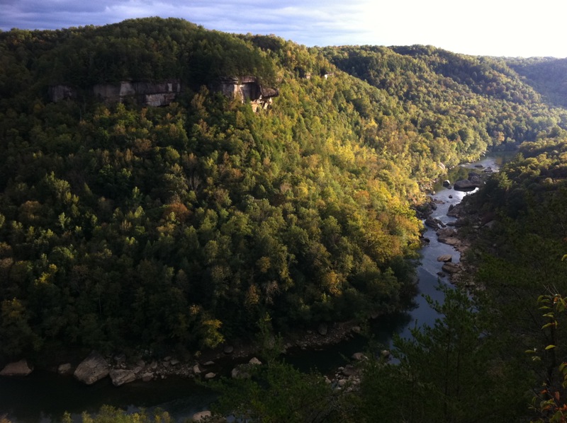
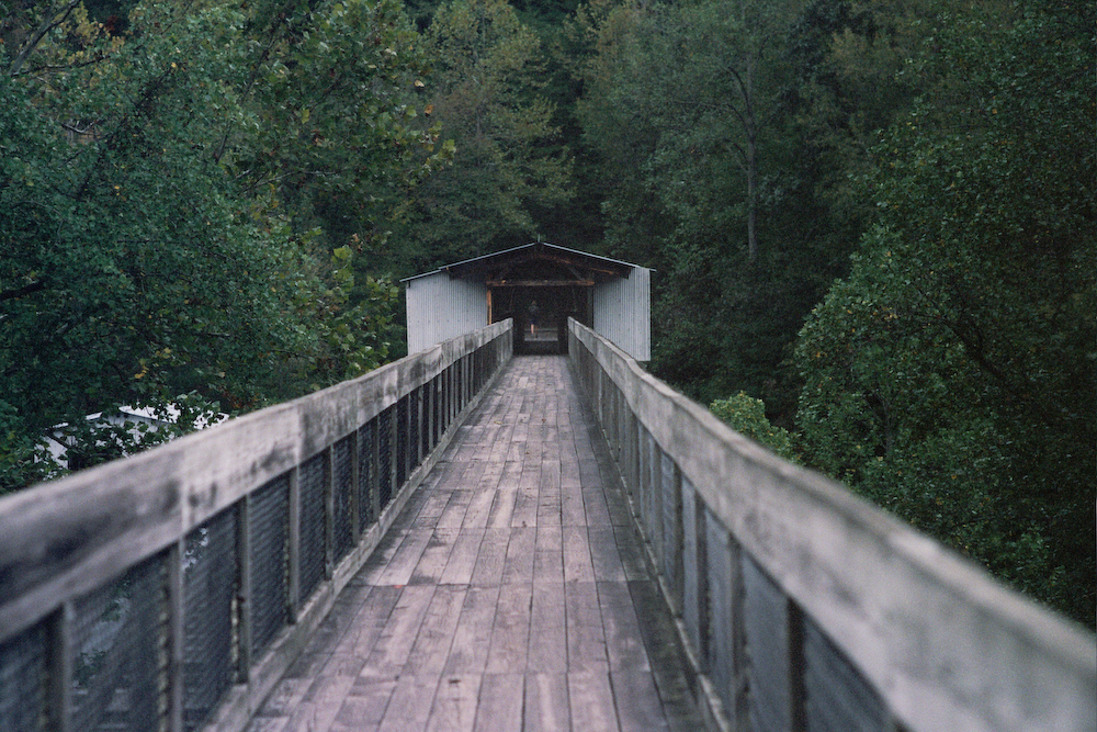
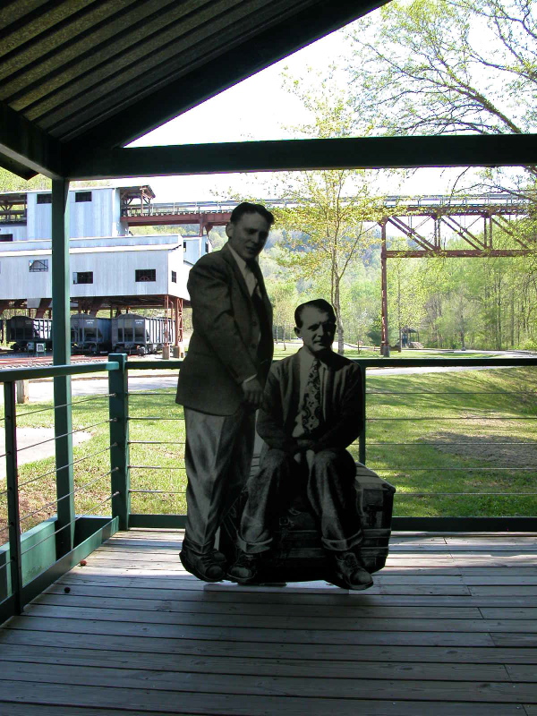
The quiet, shady Blue Heron Campground is a short hike or drive from an open-air museum, the Blue Heron Mining Community. The exhibits bring to life the community that operated a coal mine along the river from 1937 until 1962. A restored bridge crosses the Big South Fork and gives hikers wonderful overlooks along the river. A six-mile hiking loop begins near the campground to access the museum. During summer weekends, a passenger does day excursion from the NPS Stearns visitor center to the museum.
Bandy Creek Campground

 Sheltowee Trace South map
Size: large
Fee: Yes
Accommodations: 181 sites
Amenities: Visitor center, camp store, swimming pool, playground, electricity, potable water, waste disposal
Open year around
Ownership: National Park Service, BSFRRA
Buy Sheltowee Trace South Trail Map
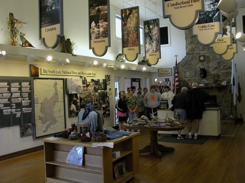
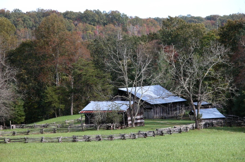
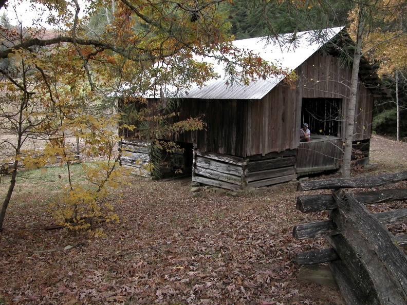
Bandy Creek is one of the two large campgrounds in the Big South Fork. This camp has many trails that go into the backcountry. A few shorter trails explore the old homesteads that were built in the early 20th Century and are now preserved by the park. This area can serve as a launch for longer trips in the backcountry and backpackers need to register at the visitor center if you plan to stay overnight.
Picket State Park

 Sheltowee Trace North map
Size: small
Fee: Yes
Accommodations: 31 sites, 20 cabins
Amenities: Archaeology museum, beach, swimming, canoing
Open year around
Ownership: Tennessee State Parks
Buy Sheltowee Trace South Trail Map
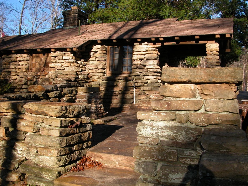
Pickett State Park was, for decades, the southern terminus of the Sheltowee Trace, until it was moved in 2012. The campground offers a home base to explore trails in the western Big South Fork and fishing along the pristine Rock Creek. The sparsely settled area experiences very dark night skies with great opportunities for stargazing.
Rockcastle Recreation Area

 Sheltowee Trace North map
Size: small
Fee: no
Accommodations: 23 tent sites (closed due to flooding)
Amenities: Boat ramp, picnic shelter, vault toilets
Open seasonally: spring – fall
Ownership: Daniel Boone National Forest, USFS
Buy Sheltowee Trace South Trail Map
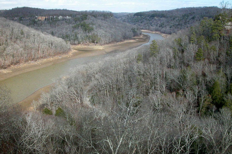
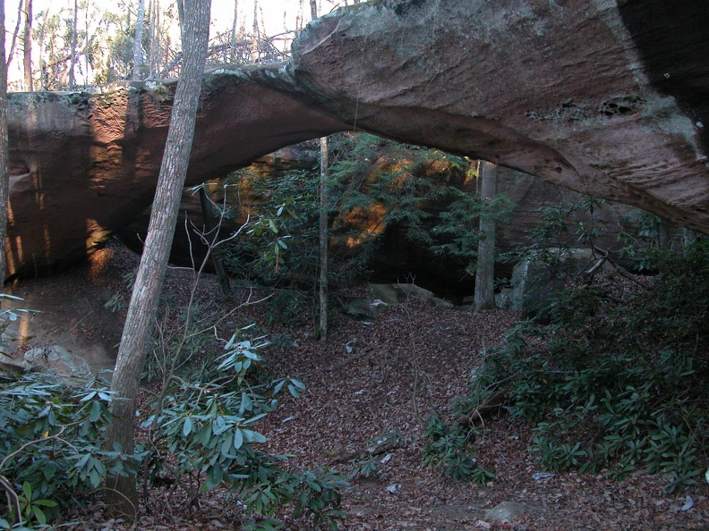
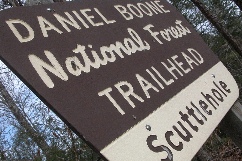
The Rockcastle Recreation Area is situated on the eastern shore of the confluence of the Rockcastle and Cumberland Rivers. The area is surrounded by cliffs with one trail, Scuttlehole Gap Trail, the connects the water with the built overlooks. A 9-mile loop trail follows the banks of Lake Cumberland and the descends into Ned Branch and Twin Branch streams.
Because of recent flooding, the riverfront area is closed.
Enlarge map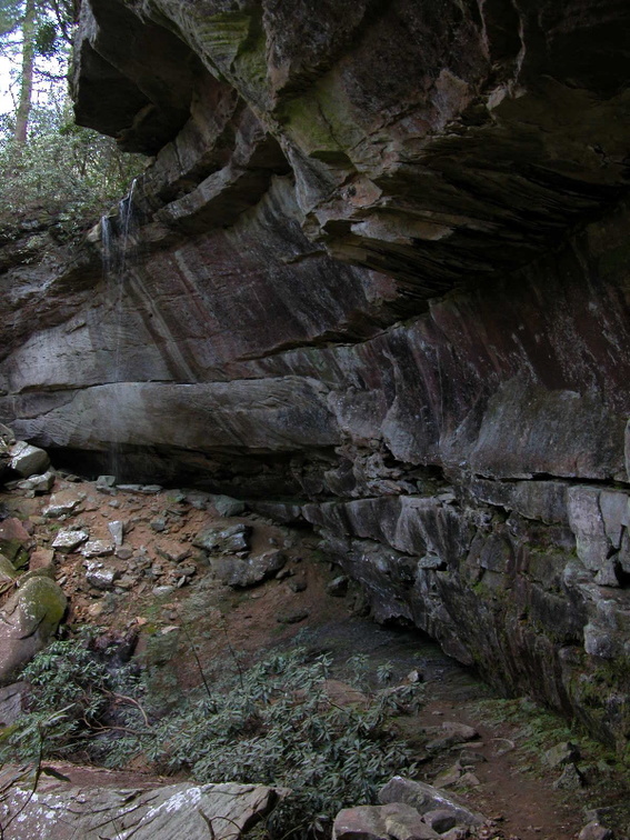
Twin Knobs Recreation Area and Campground

 Sheltowee Trace North map
Size: 700 acres
Fee: yes
Accommodations: 213 tent and RV sites
Amenities: Beach, electricity, drinking water, waste disposal, boat ramp, bath houses, camp store
Open seasonally: spring – fall
Ownership: Daniel Boone National Forest, USFS
Buy Sheltowee Trace North Trail Map
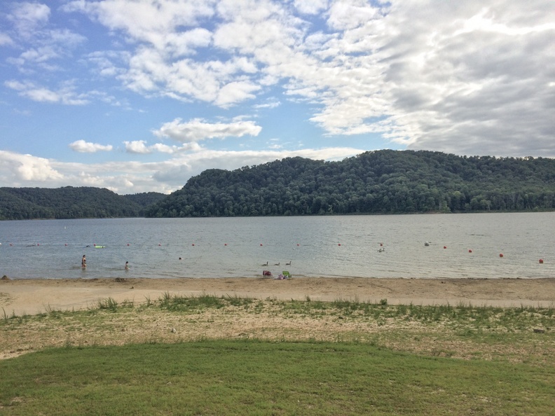
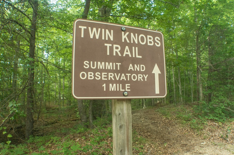
Twin Knobs and Zilpo campgrounds can be seen from each other and are separated by Cave Run Lake. Twin Knobs is a little easier to access and is larger and more forested than Zilpo. It also can be much busier. The Twin Knobs Trail is an excellent trail to explore the unique knob topography in this region.
Zilpo Recreation Area and Campground

 Sheltowee Trace North map
Size: 355 acres
Fee: yes
Accommodations: 166 sites, 12 cabins
Amenities: Beach, electricity, drinking water, waste disposal, boat ramp, bath houses, camp store
Open seasonally: spring – fall
Ownership: Daniel Boone National Forest, USFS
Buy Sheltowee Trace North Trail Map
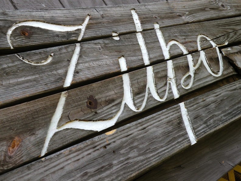
This campground has an excellent beach and great views of Cave Run Lake. A shoreline trail weaves through the campground providing access to most camp amenities. A vigorous 2.5-mile loop hike ascends Zilpo Mountain with a panoramic view of the lake.
Enlarge map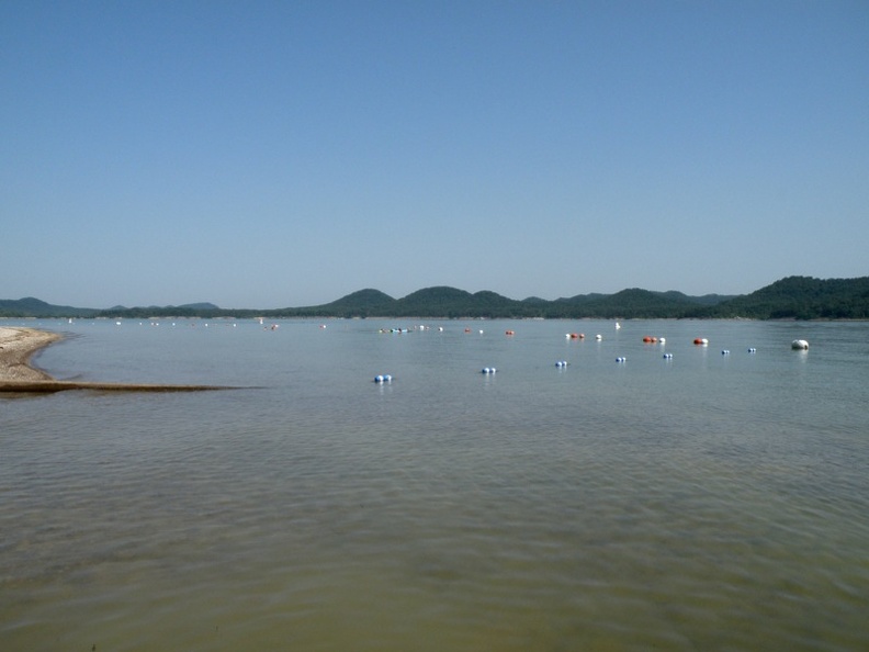
Woodland Art Fair time!
Come down to the Kentucky Art Market and Woodland Art Fair this Saturday and Sunday, Â August 17 and 18, 2019. We have new t-shirts of the Red River Gorge.


The fair runs from 10 a.m. to 5 p.m., or thereabouts.
Our booth location and coordinates are shown on the below map. We’ll be between Troublesome and Difficulty Creeks, at least spirit! Find us on the Woodland Christian Church side of the fair at the shady bottom of the hill.


You must be logged in to post a comment.