With picnic amenities, this short hike in the Red River Gorge is a solid family vacation. Red River Gorge Backpacking Map & photos.
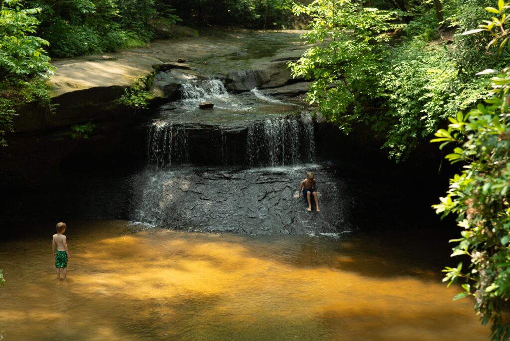
With picnic amenities, this short hike in the Red River Gorge is a solid family vacation. Red River Gorge Backpacking Map & photos.
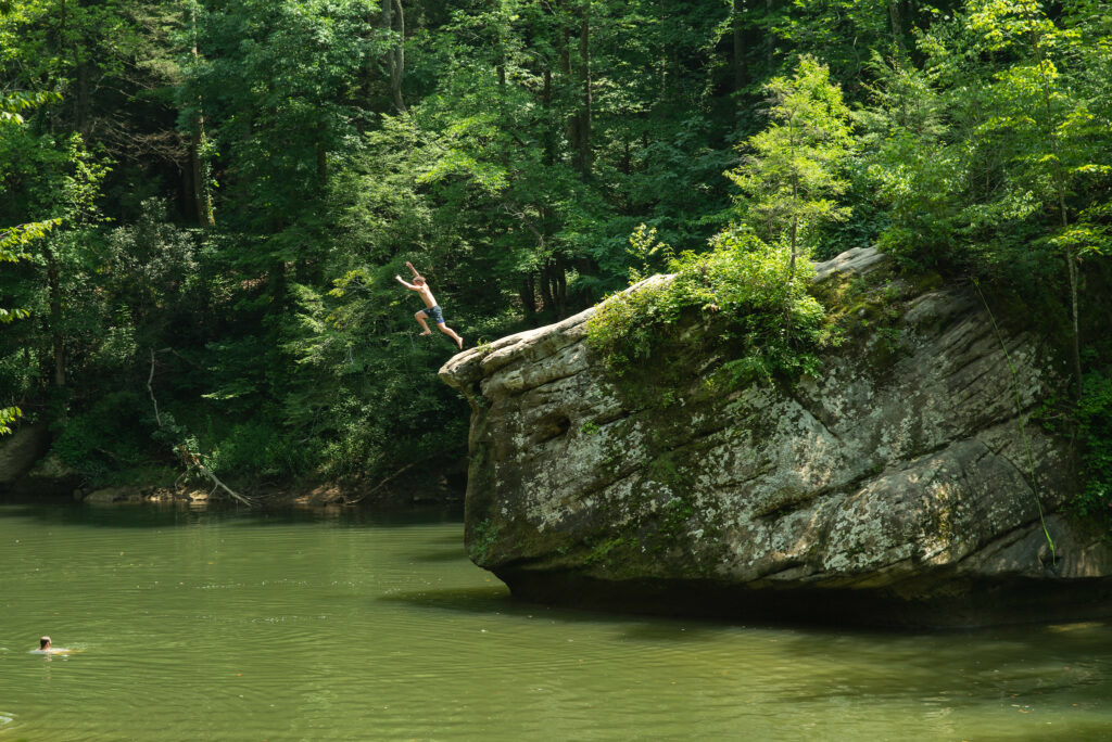
Can you guess where this popular site is located? Find this location on our Red River Gorge Backpacking Map & Sheltowee Trace North Trail Map hiking maps.
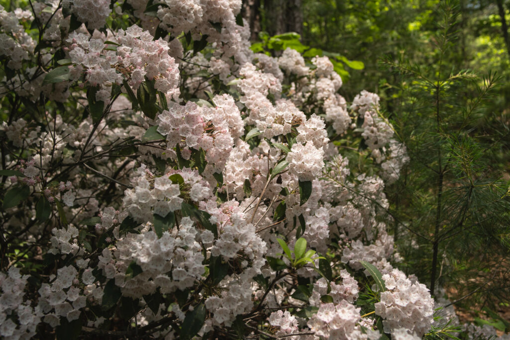
We might be in peak mountain laurel bloom this May. We visited mile marker 77 on the Sheltowee Trace and found a riotous scene of white and pink flowers.
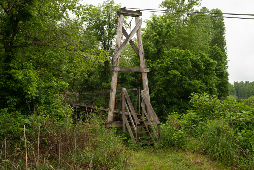
This bridge was once part of the Sheltowee Trace. Today, you can find this near mile marker 34. Find more images of the Sheltowee Trace on our Flickr page.
Cave Run in winter offers excellent off-trail exploration. Sheltowee Trace North Trail Map
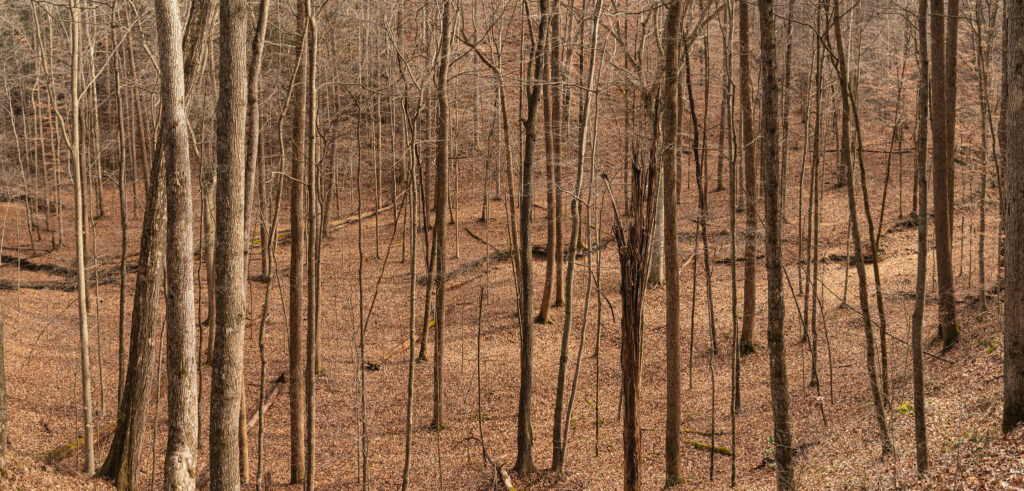
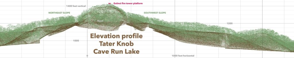
The unique topography of the area offers wide valleys near the lake and steep ridge tops with a scattering of knobs and cliffline.


You must be logged in to post a comment.