Red River Gorge Backpacking Map
Distance: 3.4 Miles loop trail
Difficulty: ++
Scenic Views: ++++
Elevation Relief: 400ft ^
Ownership: Daniel Boone National Forest, USFS
| Red River Gorge Backpacking Map: $14 |  |
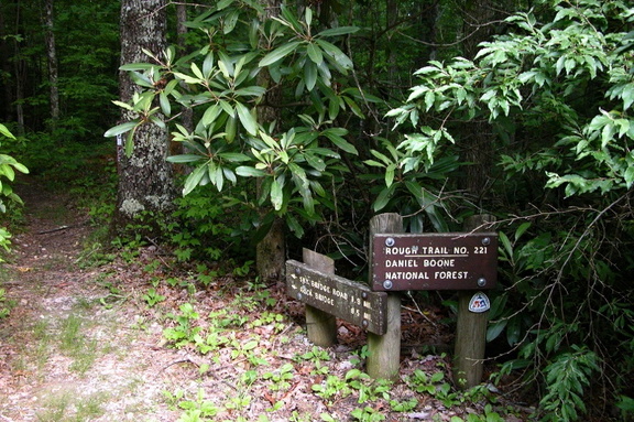
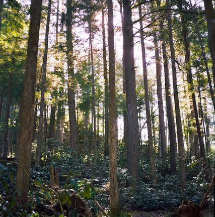
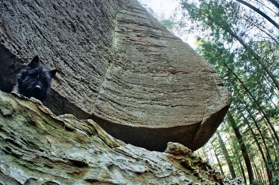
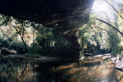
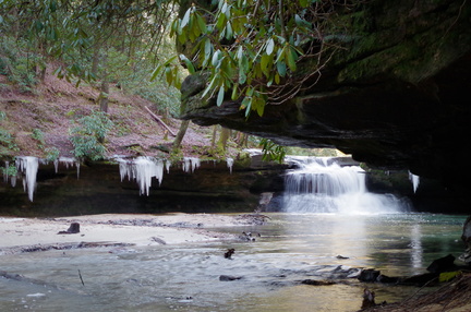
This well-used and maintained trail is the first (or last) segment of the challenging 10-mile Power Loop Hike. Starting at Gray’s Arch trailhead parking (map) walk a short quarter-mile double-width foot trail to an intersection with the Martin’s Fork Trail. Continue to the right passing the small field on Butterfly Hill. About a mile into the hike, you’ll find a few ridge top campsites west of the trail. An unmapped trail follows a narrow ridge above Left Flank climbing area.