Warm weather is approaching and I thought it would be great to have more web cams and animations to watch the unfurling of Spring and severe weather.
The animation to the left is the visible light spectrum from the GOES satellite and shows a cold front passing over Kentucky this past Saturday. I have assembled a few scripts to output a daily animation from dawn until dusk at four frames per hour.
Each frame is 640 pixels square, so each daily animation is about 8-16 megabytes, depending on the length of daylight. I’m working on automating the output to a .flv movie which would be easier on bandwidth. View a large-version snippet of this of this animation here. As I get the file sizes smaller, these animations will be incorporated into the weather page.
What I find most exciting about these animations is that they are photographs. We know weather and clouds from ground level of course, but to see a corollary from space I think helps a photographer understand the movement of clouds and how they filter sunlight. Though it’d be hard to use these animations to predict future light conditions beyond a few hours, they are helpful in understanding how the atmosphere moves and, in retrospect, what cloud cover is associated with which weather conditions.
How about a full day of photographs?
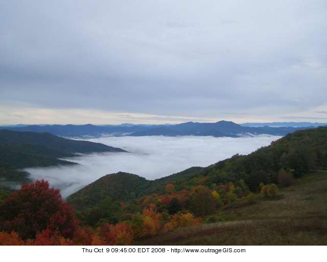
The animation to the right is a full-day digest from Sunday. It shows the snow cover and lake effect snow machine impacting the Appalachians. The full animation is 9 megabytes and can be view here. Note the clearly defined line of cloud cover and snow over the mountains that straddle the TN-NC state line. To the east you can see Mt. Mitchell and its orographic uplift.
Two New Web Cams
Our current NPS web cams Look Rock and Purchase Knob both look east. I incorporated two forest service web cams, Joyce Kilmer and Cold Mountain, which both look west. Though they are not in the park, they are useful in getting a panoramic real-time view of the Great Smokies. All of these web cams can be found on our Great Smokies weather page: http://www.outrageGIS.com/weather/grsm.
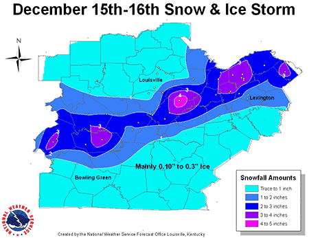
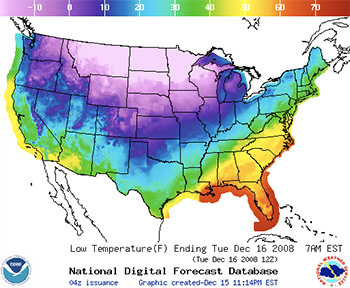 Winter storm warning, Dec 15-16, 2008.
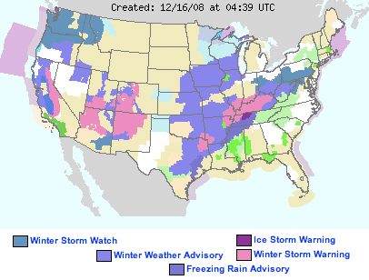
 Wind advisory, Sunday Dec 14, 2008
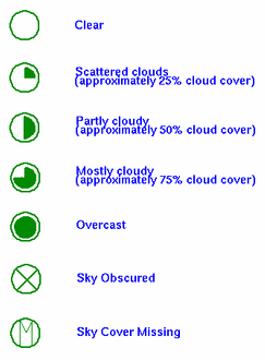
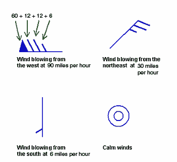
 is reporting that the current temperature is 55 degrees F, the sky is clear, and the winds are blowing from the north at 18 miles per hour.
 is reporting completely overcast conditons, winds from the north at 24 miles per hour and the temperature is 58 degrees F.

 Pine Mountain Trail Map
 Awesome. That’s the a good word to describe the current trail conditions at Cave Run. Often plagued with muddy trail conditions from numerous seeps, the trails now are fast, firm, and fantastic. Trails around sandstone outcroppings are sandy as usually and the soil elsewhere is dusty.
 Red River Gorge trails are fantastic right now. This late September season has given us clear, warm days and dry, cool nights. The waning moon is glowing through high cirrostratus that are hinting rain, but none is in the forecast.