We introduce our new weather page for the Great Smoky Mountains National Park.
This site aggregates the best weather data and maps for the national park and surrounding mountain area. Maps are from the National Weather Service (NWS) and composited with the national park boundary for easy location. The data is fed from real-time NWS observations and watches, warnings, & advisories.
We think this is the best page for your weather needs if you plan to visit the smokies or long to be there now. For example, the map at left shows the visible satellite of the region centered on the park, shown in the yellow polygon. Cloud cover is good to consider for photographic trips. If the map is dark, well…you’ll need a flash or long exposure.
Other weather information and tidbits we include are links to the official NWS forecast page, which is an excellent site, and webcams for Look Rock and Purchase Knob. We have a link to the high & low temperatures, precipitation, and snow depth for the Sugarland Center, Newfound Gap, Cades Cove, Oconaluftee, & Mt. LeConte.
You can visit the page here: http://www.outrageGIS.com/weather/grsm. We also constructed a page that has current radar, visible satellite, and weather statements here.


 The Great Smoky Mountains Trail Atlas


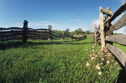 Trails in Hensley settlement


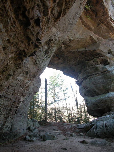 Twin Arches
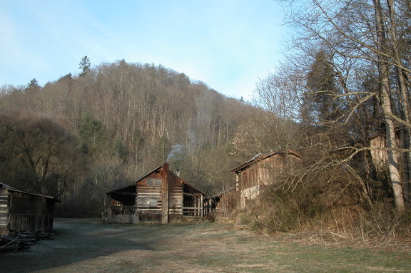 Charit Creek Lodge
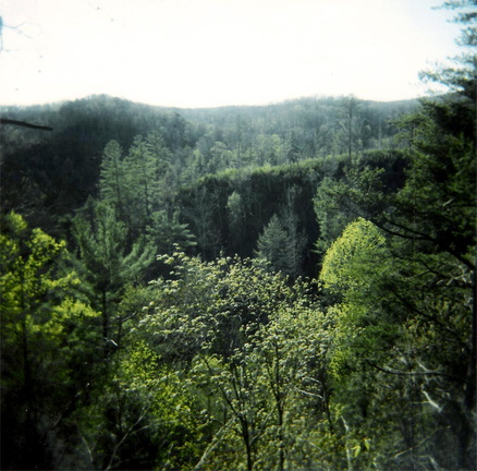 Rock Creek valley
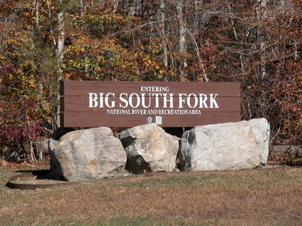 Entering Big South Fork country
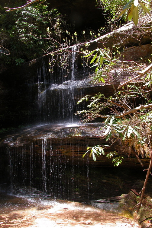 Crystal Falls