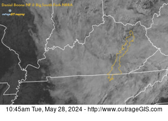
 The interesting physiography of southeastern Kentucky and southw...
DBNF Info: SheltoweeTrace | kywilderness | boydshearer
Map Maker (@boydshearer) Cartographer of the mountains, streams, and trails in our public lands.
Recent Photographs & Maps
 Check out our weather stations
Our Favorite Hikes
KyFromAbove released Phase 3 aerial photography, including oblique imagery, in Spring 2025. The images are available to download and are open data. However, finding the right set of images to download might be a task.
This viewer allows you to zoom in and see the available images for each exposur...
Our Blog
Can we detect changes in surface height over time, at a neighborhood scale? The changes in height...
KyFromAbove released Phase 3 aerial photography, including oblique imagery, in Spring 2025. The i...
KyFromAbove has three phases of collecting high-resolution aerial imagery and elevation data. Ove...
Our Clients' Maps
Have you ever needed to create a quick GPS track, plot a few points on a map, and generate shareable spatial data on the fly in the field? This bro...
Building on our elevation profile maker, we examined height and elevation measures generated in the browser from Phase 2 elevation data within Lex...